CITY SURVEY understands today focus on the demands for quality , stringent government regulation and environmental impact . We have a reputation for timely service , accurate survey result , cost-effective recommendations Our services had been provided in the MENA region to a large number of reputable clients at all levels including consulting firms , architects , engineers , as well as contractors and specialized subcontractors
Engineering Design & Feasibility Study
Feasibility isn’t about ideas, it’s about numbers. A good feasibility study starts with what the client wants to achieve. We use this information to define project user requirements and critical success factors, giving clear direction to the project scope.
City Survey & Engineering Consultants believe in a vertical start-up approach to concept design engineering, where detailed investigation is front-loaded to remove more costly revisions at implementation stage.
We carefully audit the options available to facilitate the project, from existing equipment/technology to potential investment opportunities, working using proven engineering principles to assess all possible solutions.
Our engineers bring not only theoretical knowledge but time-served experience, identifying risks/challenges and quantifying benefits of each solution from economic, operational, technical and safety perspectives.
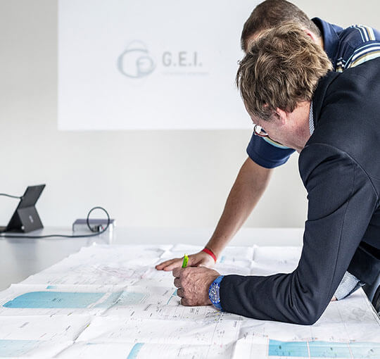
Supervision & Project Management
Our Project Management and Supervision services cover all stages during implementation of a
project. Before starting of any project we design, review and provide support. At starting of
project we supervise and coordinate with our contractors. When you let City Survey &
Engineering Consultants handle the project, we take care of the entire process. Our project
manager works closely with you and manages the projects on your behalf.
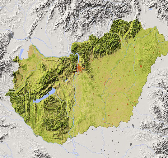
Topographic & GIS Services
City Survey & Engineering Consultants are into GIS mapping and Topographic surveys which are designed to be used as a base map by GIS professionals and as a reference map by anyone. The map includes cities, water features, physiographic features, parks, landmarks, highways, roads, railways, airports, and administrative boundaries, overlaid on land cover and shaded relief imagery for added context. Alignment of boundaries is a presentation of the feature provided by our data vendors and does not imply endorsement by any governing authority.
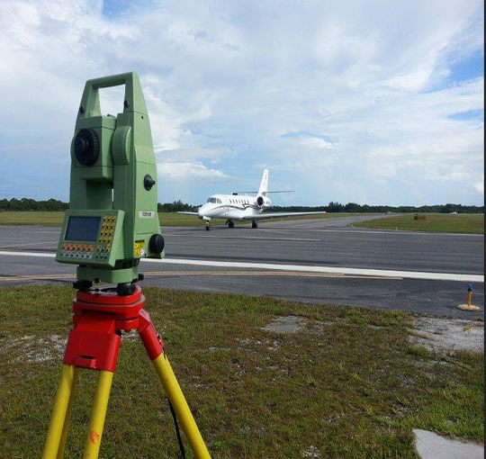
Aerodrome Surveys / Runway Assessment
The objective of our work is to check the standard of runway and taxiway for the specific needs. We carry detail investigation program during the project and recommendation given to the improvement.