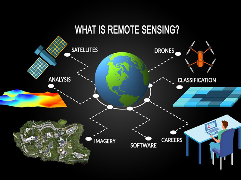
Remote Sensing & Space Sciences
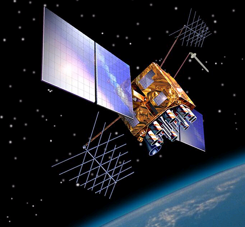
City Survey uses satellite imagery from Landsat, Sentinel, MODIS, Maxar, Airbus and Planet, together with field data, to support engineering and planning studies. We process multi-spectral, thermal and time-series data to produce detailed assessments that can be directly used in planning, design and monitoring activities.
City Survey has built a strong reputation as a specialist provider of geospatial, surveying and engineering solutions. Over the past several years, we have expanded our technical capacity to support complex projects through satellite-based remote sensing, GIS analysis and integrated land information systems and are currently working with World Bank and Asian Development Bank .Our Remote Sensing Department consists of 126 dedicated specialists, including image analysts, GIS engineers & photogrammetry experts along with 500+ land survey professionals.
We specialize in the following types of studies using satellite data:
• Land use and land cover mapping for planning and environmental studies
• Monitoring changes in built-up areas, vegetation cover, barren land and water bodies
• Assessing urban expansion, encroachments and right-of-way developments
• Hydrological studies, including watershed delineation, flood mapping and sedimentation patterns
• Soil moisture and salinity analysis, terrain evaluation and environmental suitability studies
• Geological interpretation, lineament mapping and site-selection support for engineering projects
• Crop monitoring, NDVI vegetation assessments and water-stress analysis
• Urban heat-island assessment and thermal surface studies
• Shoreline monitoring, coastal erosion and mangrove health assessment
• Post-disaster mapping for floods, fires, landslides and other natural hazards
• Baseline environmental assessments and long-term change analysis
CSEC is well positioned to support large development programmes, infrastructure expansion and digital land management initiatives across the region. Remote Sensing & GIS Services:
• Interpretation and analysis of satellite imagery
• Land cover maps, urban growth analysis and environmental monitoring
• Change detection for construction monitoring and compliance checks
• Corridor and alignment mapping for roads, pipelines and utilities
• Thermal, coastal and vegetation assessments
• Preparation of GIS databases for planning authorities and municipalities
• Site suitability assessment for new developments
• Feasibility support for airports, industrial zones, housing schemes and logistics hubs
• Environmental and terrain analysis supporting civil design
• Mapping for drainage, hydrology and flood-risk assessments
• Mapping of wetlands, vegetation cover and green belts
• Monitoring of desertification and land degradation
• Climate-related studies using long-term satellite archives
• Water body monitoring and coastal ecosystem assessments